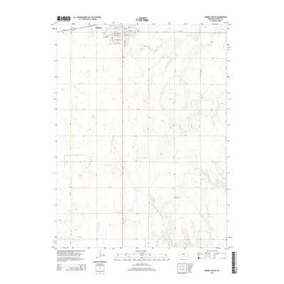
2014 Map of Minden South
USGS Topo · Published 2014About this map
Minden anchors the northern edge of this survey, where the rigid grid of the Nebraska prairie meets the meandering headwaters of the Little Blue River. The landscape is defined by a systematic section-line road network, including Us-34 and Ne-10, which facilitates access to the surrounding agricultural tracts. Local history is preserved in small commemorative sites such as the Minden Prairie Cem near the town center and the more isolated Free Mission Cem to the south.
Find a feature on this map
34 named features on this map. Tap any name to fly to it.
Don’t see what you’re looking for? This feature index may not catch every label — zoom into the map to look around manually.
Map Details
Editions of this 2014 Minden South Map
This is the sole edition of this map. No revisions or reprints were ever made.
Other maps of this area

1894 · Kearney
USGS Topo · 1:62,500

1894 · Minden
USGS Topo · 1:62,500

1896 · Holdrege
USGS Topo · 1:125,000

1896 · Kearney
USGS Topo · 1:125,000

1896 · Wood River
USGS Topo · 1:125,000

1897 · Red Cloud
USGS Topo · 1:125,000

1955 · Grand Island
USGS Topo · 1:250,000

1957 · Grand Island
USGS Topo · 1:250,000

1958 · Grand Island
USGS Topo · 1:250,000

1969 · Upland
USGS Topo · 1:24,000