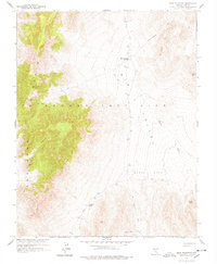
1961 Map of Mine Mountain
USGS Topo · Published 1978About this map
The Nevada Test Site defines the geography of this mid-century topographic survey, produced in cooperation with the Atomic Energy Commission. The landscape is characterized by its high-altitude desert basins and significant mountain ranges, including the prominent peaks of Mine Mountain and Shoshone Mountain. Access through this restricted terrain is documented via a network of unnamed Jeep Trails and specific landmarks like Mine Mountain Junction. The topographical detail captures the descent from the heights of Jackass Divide into the broad expanse of Mid Valley. Notable for its isolation, the map identifies several desolate features such as Barren Spot, Barren Butte, and the winding Barren Wash. Researchers will find a precise record of survey markers, from the VABM Tip 4896 to numerous benchmarks like BM 4907, which provided the essential data for activities in this high-security region.
Find a feature on this map
23 named features on this map. Tap any name to fly to it.
Don’t see what you’re looking for? This feature index may not catch every label — zoom into the map to look around manually.
Map Details
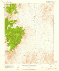
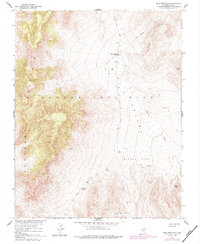
Editions of this 1961 Mine Mountain Map
3 editions found
Other maps of this area

1908 · Kawich
USGS Topo · 1:250,000

1908 · Furnace Creek
USGS Topo · 1:250,000

1910 · Furnace Creek
USGS Topo · 1:250,000

1942 · Wheelbarrow Peak
USGS Topo · 1:125,000

1942 · Skull Mountain
USGS Topo · 1:125,000

1948 · Death Valley
USGS Topo · 1:250,000

1952 · Topopah Spring
USGS Topo · 1:62,500

1952 · Tippipah Spring
USGS Topo · 1:62,500

1952 · Timber Mountain
USGS Topo · 1:62,500
1952 · Cane Spring
USGS Topo · 1:62,500