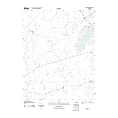
2010 Map of Mine Run
USGS Topo · Published 2010About this map
Wilderness Battlefield occupies the eastern edge of this landscape, marking a terrain defined by complex water systems and historic rural crossroads. The Rapidan River flows along the northern boundary, fed by numerous tributaries including Mine Run, Cormack Run, and Shanty Bridge Creek. This 2010 survey illustrates the modernization of the region, specifically around Lake of the Woods, where residential street networks contrast with the older agricultural patterns of the surrounding countryside.
Find a feature on this map
72 named features on this map. Tap any name to fly to it.
Don’t see what you’re looking for? This feature index may not catch every label — zoom into the map to look around manually.
Map Details
Editions of this 2010 Mine Run Map
This is the sole edition of this map. No revisions or reprints were ever made.
Other maps of this area

1887 · Spottsylvania
USGS Topo · 1:125,000

1892 · Spottsylvania
USGS Topo · 1:125,000

1942 · Lahore
USGS Topo · 1:31,680

1942 · Belmont
USGS Topo · 1:31,680

1942 · Brokenburg
USGS Topo · 1:31,680

1943 · Germanna Bridge
USGS Topo · 1:24,000

1943 · Chancellorsville
USGS Topo · 1:24,000

1943 · Culpeper
USGS Topo · 1:24,000

1943 · Mine Run
USGS Topo · 1:24,000

1943 · Unionville
USGS Topo · 1:24,000