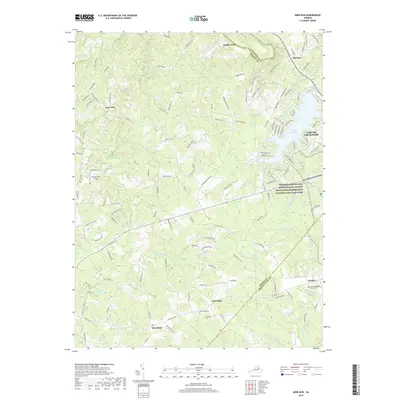
2019 Map of Mine Run
USGS Topo · Published 2019About this map
Fredericksburg and Spotsylvania County Battlefields Memorial National Military Park occupies a significant portion of this eastern Virginia landscape, marking the historic ground between the Rapidan River and the rural interiors of Orange and Spotsylvania Counties. The terrain is defined by a dense network of watercourses including Mine Run, Cormack Run, and S Wilderness Run, which historically shaped military movements and early settlement patterns.
Find a feature on this map
137 named features on this map. Tap any name to fly to it.
Don’t see what you’re looking for? This feature index may not catch every label — zoom into the map to look around manually.
Map Details
Editions of this 2019 Mine Run Map
This is the sole edition of this map. No revisions or reprints were ever made.
Other maps of this area

1887 · Spottsylvania
USGS Topo · 1:125,000

1892 · Spottsylvania
USGS Topo · 1:125,000

1942 · Lahore
USGS Topo · 1:31,680

1942 · Belmont
USGS Topo · 1:31,680

1942 · Brokenburg
USGS Topo · 1:31,680

1943 · Germanna Bridge
USGS Topo · 1:24,000

1943 · Chancellorsville
USGS Topo · 1:24,000

1943 · Culpeper
USGS Topo · 1:24,000

1943 · Mine Run
USGS Topo · 1:24,000

1943 · Unionville
USGS Topo · 1:24,000