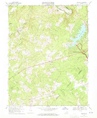
1969 Map of Mine Run
USGS Topo · Published 1971About this map
Fredericksburg-Spotsylvania National Military Park covers the eastern portion of this landscape, preserving the hallowed ground of the Wilderness Battlefield. The map documents a transition in land use, where the northern end of the Old Railroad Grade and numerous historical stream names like Mine Run and Cormack Run hint at the area's older agricultural and extractive past. In contrast, the development of Lake of the Woods introduces a planned community character, complete with a Golf Course and Boat Ramp near the shoreline.
Find a feature on this map
44 named features on this map. Tap any name to fly to it.
Don’t see what you’re looking for? This feature index may not catch every label — zoom into the map to look around manually.
Map Details
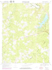
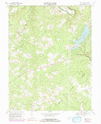
Editions of this 1969 Mine Run Map
3 editions found
Other maps of this area

1887 · Spottsylvania
USGS Topo · 1:125,000

1892 · Spottsylvania
USGS Topo · 1:125,000

1942 · Lahore
USGS Topo · 1:31,680

1942 · Belmont
USGS Topo · 1:31,680

1942 · Brokenburg
USGS Topo · 1:31,680

1943 · Germanna Bridge
USGS Topo · 1:24,000

1943 · Chancellorsville
USGS Topo · 1:24,000

1943 · Culpeper
USGS Topo · 1:24,000

1943 · Mine Run
USGS Topo · 1:24,000

1943 · Unionville
USGS Topo · 1:24,000