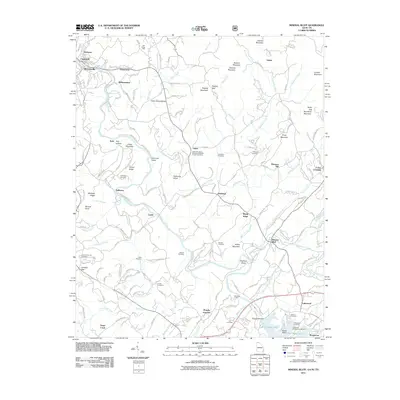
2011 Map of Mineral Bluff
USGS Topo · Published 2011About this map
The Toccoa River winds through this North Georgia and Tennessee border region, serving as the central artery for settlements like McCaysville and Copperhill. The landscape is defined by its deep ridges and gaps, including the Hothouse Valley and Hughes Gap, which separate isolated mountain communities. Local genealogy is well-preserved through numerous family and church burial grounds, such as the Salem Number 2 Missionary Baptist Church Cemetery and Cox Cemetery.
Find a feature on this map
154 named features on this map. Tap any name to fly to it.
Don’t see what you’re looking for? This feature index may not catch every label — zoom into the map to look around manually.
Map Details
Editions of this 2011 Mineral Bluff Map
This is the sole edition of this map. No revisions or reprints were ever made.
Other maps of this area

1888 · Ellijay
USGS Topo · 1:125,000

1892 · Ellijay
USGS Topo · 1:125,000

1893 · Murphy
USGS Topo · 1:125,000

1898 · Ellijay
USGS Topo · 1:125,000

1911 · Ellijay
USGS Topo · 1:125,000

1914 · Murphy
USGS Topo · 1:125,000

1934 · Persimmon Creek
USGS Topo · 1:24,000

1934 · Murphy
USGS Topo · 1:48,000

1935 · Epworth
USGS Topo · 1:24,000

1935 · Mineral Bluff
USGS Topo · 1:24,000