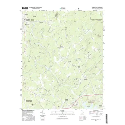
2017 Map of Mineral Bluff
USGS Topo · Published 2017About this map
McCaysville and Copperhill sit prominently at the northern edge of this map, marking the busy intersection of the Georgia-Tennessee border where industry and geography converge. The Toccoa River snakes through the center of the terrain, carving a path past Galloway and Curtis before widening into Hogback Bend. This survey documents a landscape of numerous small family cemeteries and rural congregations, such as Salem Number 2 Missionary Baptist Church in Union, which speak to the long-standing community ties in this corner of the Chattahoochee National Forest. To the south, the terrain descends toward the northern reaches of Blue Ridge Lake near Morganton, while the eastern portion is dominated by the winding Hothouse Valley and its namesake creek. The presence of Murphy Junction and the local road network connecting places like Mineral Bluff and Epworth illustrates the enduring residential and transit patterns of Fannin County.
Find a feature on this map
82 named features on this map. Tap any name to fly to it.
Don’t see what you’re looking for? This feature index may not catch every label — zoom into the map to look around manually.
Map Details
Editions of this 2017 Mineral Bluff Map
This is the sole edition of this map. No revisions or reprints were ever made.
Other maps of this area

1888 · Ellijay
USGS Topo · 1:125,000

1892 · Ellijay
USGS Topo · 1:125,000

1893 · Murphy
USGS Topo · 1:125,000

1898 · Ellijay
USGS Topo · 1:125,000

1911 · Ellijay
USGS Topo · 1:125,000

1914 · Murphy
USGS Topo · 1:125,000

1934 · Persimmon Creek
USGS Topo · 1:24,000

1934 · Murphy
USGS Topo · 1:48,000

1935 · Epworth
USGS Topo · 1:24,000

1935 · Mineral Bluff
USGS Topo · 1:24,000