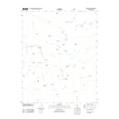
2012 Map of Mineral King
USGS Topo · Published 2012About this map
The high alpine valley of Mineral King serves as the focal point for this 2012 survey, where the Mineral King Rd terminates among some of the highest peaks in the Sierra Nevada. The settlement at Aspen Flat and the Cold Spring Campground mark the few established human sites in a landscape dominated by dramatic vertical relief and glacial hydrology. This map records a dense concentration of named peaks including Empire Mountain, Sawtooth Peak, and Needham Mountain, along with specific geological anomalies like the Eagle Sinkhole.
Find a feature on this map
63 named features on this map. Tap any name to fly to it.
Don’t see what you’re looking for? This feature index may not catch every label — zoom into the map to look around manually.
Map Details
Editions of this 2012 Mineral King Map
This is the sole edition of this map. No revisions or reprints were ever made.
Other maps of this area

1903 · Tehipite
USGS Topo · 1:125,000

1904 · Kaweah
USGS Topo · 1:125,000

1905 · Tehipite
USGS Topo · 1:125,000

1905 · Olancha
USGS Topo · 1:125,000

1907 · Olancha
USGS Topo · 1:125,000

1907 · Mt. Whitney
USGS Topo · 1:125,000

1909 · Kaweah
USGS Topo · 1:125,000

1919 · Mt. Whitney
USGS Topo · 1:125,000

1937 · Mt. Whitney
USGS Topo · 1:125,000

1937 · Kaweah
USGS Topo · 1:125,000