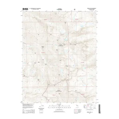
2015 Map of Mineral King
USGS Topo · Published 2015About this map
Mineral King serves as the focal point for this high-elevation landscape within Sequoia National Park and Sequoia National Forest. The map documents a network of trails and the primary access of Mineral King Rd as they navigate around the dramatic peaks of the Sierra Nevada. The distribution of named campsites and flats, such as Aspen Flat and Bullion Flat, highlights the area's legacy as a destination for back-country exploration.
Find a feature on this map
72 named features on this map. Tap any name to fly to it.
Don’t see what you’re looking for? This feature index may not catch every label — zoom into the map to look around manually.
Map Details
Editions of this 2015 Mineral King Map
This is the sole edition of this map. No revisions or reprints were ever made.
Other maps of this area

1903 · Tehipite
USGS Topo · 1:125,000

1904 · Kaweah
USGS Topo · 1:125,000

1905 · Tehipite
USGS Topo · 1:125,000

1905 · Olancha
USGS Topo · 1:125,000

1907 · Olancha
USGS Topo · 1:125,000

1907 · Mt. Whitney
USGS Topo · 1:125,000

1909 · Kaweah
USGS Topo · 1:125,000

1919 · Mt. Whitney
USGS Topo · 1:125,000

1937 · Mt. Whitney
USGS Topo · 1:125,000

1937 · Kaweah
USGS Topo · 1:125,000