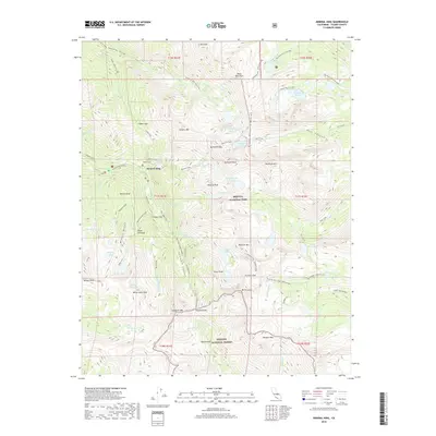
2018 Map of Mineral King
USGS Topo · Published 2018About this map
Mineral King serves as the focal point for this high-altitude survey of the southern Sierra Nevada, where the legacy of early prospecting is etched into landmarks like Miners Nose and Miners Ridge. The landscape is defined by the Great Western Divide, a formidable granite crest that separates the drainage of Cliff Creek and Mineral Creek from the eastern alpine basins. The area is dense with glacial tarns, from the Monarch Lakes and Mosquito Lakes near the settlement to the remote Big Five Lakes and Little Five Lakes tucked behind Black Rock Pass. High mountain passes such as Sawtooth Pass, Franklin Pass, and Farewell Gap provide the primary routes through this section of Sequoia National Park. The concentration of naming conventions—from White Chief Peak to Empire Mountain—reflects the 19th-century mining ambitions that once drew settlers to these high basins.
Find a feature on this map
78 named features on this map. Tap any name to fly to it.
Don’t see what you’re looking for? This feature index may not catch every label — zoom into the map to look around manually.
Map Details
Editions of this 2018 Mineral King Map
This is the sole edition of this map. No revisions or reprints were ever made.
Other maps of this area

1903 · Tehipite
USGS Topo · 1:125,000

1904 · Kaweah
USGS Topo · 1:125,000

1905 · Tehipite
USGS Topo · 1:125,000

1905 · Olancha
USGS Topo · 1:125,000

1907 · Olancha
USGS Topo · 1:125,000

1907 · Mt. Whitney
USGS Topo · 1:125,000

1909 · Kaweah
USGS Topo · 1:125,000

1919 · Mt. Whitney
USGS Topo · 1:125,000

1937 · Mt. Whitney
USGS Topo · 1:125,000

1937 · Kaweah
USGS Topo · 1:125,000