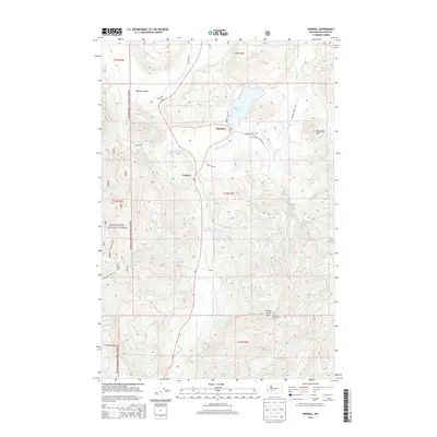
2013 Map of Mineral
USGS Topo · Published 2013About this map
Mineral and the shores of Mineral Lake anchor this 2013 topographic survey of the Gifford Pinchot and Snoqualmie National Forest borderlands. The landscape is defined by the high elevations of Storm King Mtn to the south and Roundtop Mtn to the northeast, with the Tilton River carving through the southern terrain. Smaller settlements and geographic markers like Carlson, Pleasant Valley, and Divide provide historical context for the local timber and rail corridors that have long shaped Lewis County.
Find a feature on this map
39 named features on this map. Tap any name to fly to it.
Don’t see what you’re looking for? This feature index may not catch every label — zoom into the map to look around manually.
Map Details
Editions of this 2013 Mineral Map
This is the sole edition of this map. No revisions or reprints were ever made.
Other maps of this area
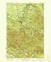
1937 · Eatonville
USGS Topo · 1:125,000
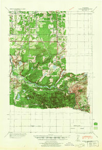
1941 · Tanwax Lake
USGS Topo · 1:62,500
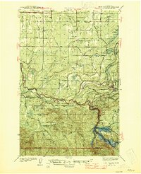
1944 · Ohop Valley
USGS Topo · 1:62,500
1949 · Ohop Valley
USGS Topo · 1:62,500

1953 · Hoquiam
USGS Topo · 1:250,000
1956 · Mineral
USGS Topo · 1:62,500
1956 · Kapowsin
USGS Topo · 1:62,500
1957 · Hoquiam
USGS Topo · 1:250,000
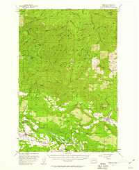
1957 · Morton
USGS Topo · 1:62,500
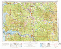
1958 · Hoquiam
USGS Topo · 1:250,000