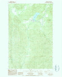
1987 Map of Mineral
USGS Topo · Published 1987About this map
Mineral sits at the heart of this Lewis County landscape, serving as a focal point near the northern shores of Mineral Lake. The 1980s terrain is defined by the steep timberlands of the Snoqualmie National Forest and prominent peaks like Storm King Mountain and Roundtop Mountain. Water dominates the geography, with the Tilton River flowing through the southern portion while the North Fork Mineral Creek and Washington Creek drain the surrounding heights.
Find a feature on this map
26 named features on this map. Tap any name to fly to it.
Don’t see what you’re looking for? This feature index may not catch every label — zoom into the map to look around manually.
Map Details
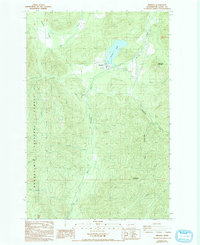
Editions of this 1987 Mineral Map
2 editions found
Other maps of this area
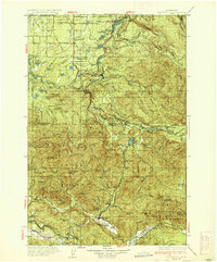
1937 · Eatonville
USGS Topo · 1:125,000
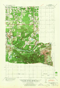
1941 · Tanwax Lake
USGS Topo · 1:62,500
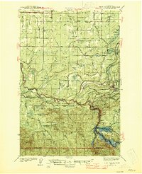
1944 · Ohop Valley
USGS Topo · 1:62,500
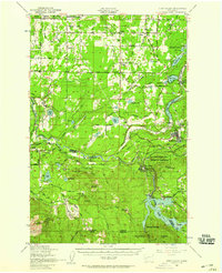
1949 · Ohop Valley
USGS Topo · 1:62,500

1953 · Hoquiam
USGS Topo · 1:250,000
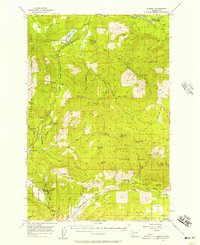
1956 · Mineral
USGS Topo · 1:62,500
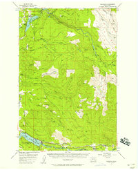
1956 · Kapowsin
USGS Topo · 1:62,500
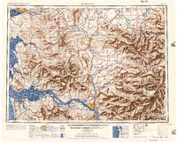
1957 · Hoquiam
USGS Topo · 1:250,000
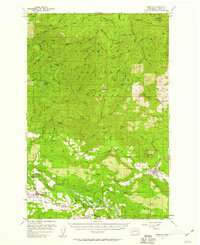
1957 · Morton
USGS Topo · 1:62,500
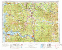
1958 · Hoquiam
USGS Topo · 1:250,000