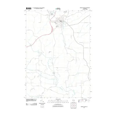
2010 Map of Mineral Point
USGS Topo · Published 2010About this map
Mineral Point sits at the heart of this landscape, its street grid organized around a historic corridor including Shakerag St and Antoine St. This 2010 USGS survey documents the town's northern expansion near Ludden Lake and the 2WP1659 Dam, while southern reaches near Slateford remain defined by the winding course of the Pecatonica River. Local family history and genealogy are anchored by several established burial grounds, including Graceland Cemetery, Saint Paul Cemetery, and Saint Marys Cemetery. Outside the main settlement, the terrain is shaped by a network of waterways such as Brewery Creek and Rock Branch, along with local landmarks like Hutchinson Dam. The map's road network, featuring routes like Ivey Rd and Tibbits Rd, reflects the agricultural and industrial pathways that have connected this Iowa County community for generations.
Find a feature on this map
40 named features on this map. Tap any name to fly to it.
Don’t see what you’re looking for? This feature index may not catch every label — zoom into the map to look around manually.
Map Details
Editions of this 2010 Mineral Point Map
This is the sole edition of this map. No revisions or reprints were ever made.
Other maps of this area

1902 · Mineral Point
USGS Topo · 1:125,000

1952 · Calamine
USGS Topo · 1:24,000

1952 · Mineral Point
USGS Topo · 1:24,000

1952 · Dodgeville
USGS Topo · 1:24,000

1952 · Belmont
USGS Topo · 1:24,000

1952 · Linden
USGS Topo · 1:24,000

1952 · Mifflin
USGS Topo · 1:24,000

1959 · Dubuque
USGS Topo · 1:250,000

1961 · Dubuque
USGS Topo · 1:250,000

1962 · Dubuque
USGS Topo · 1:250,000