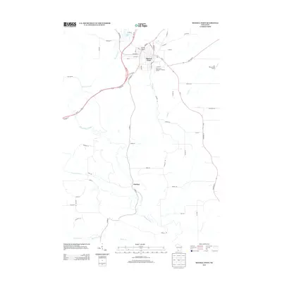
2013 Map of Mineral Point
USGS Topo · Published 2013About this map
Mineral Point serves as the focal point of this southwestern Wisconsin landscape, characterized by its historic street names and the winding hydrology of the Driftless Area. The town’s heritage is reflected in street labels such as Copper St and Shakerag St, while the surrounding terrain is defined by the Mineral Point Branch and the Pecatonica River. A southern settlement at Slateford sits near the confluence of local tributaries, illustrating the dispersed rural habitation common to Iowa County. Modern infrastructure like the Jim Benson Field Airport and the Mineral Point Wastewater Treatment Facility appear alongside traditional landmarks like Ludden Lake. The map reveals a dense network of country roads, including Tibbits Rd and Ferndale Rd, which connect the main hub to isolated homesteads and smaller water bodies like Bonner Br and Brewery Cr.
Find a feature on this map
50 named features on this map. Tap any name to fly to it.
Don’t see what you’re looking for? This feature index may not catch every label — zoom into the map to look around manually.
Map Details
Editions of this 2013 Mineral Point Map
This is the sole edition of this map. No revisions or reprints were ever made.
Other maps of this area

1902 · Mineral Point
USGS Topo · 1:125,000

1952 · Calamine
USGS Topo · 1:24,000

1952 · Mineral Point
USGS Topo · 1:24,000

1952 · Dodgeville
USGS Topo · 1:24,000

1952 · Belmont
USGS Topo · 1:24,000

1952 · Linden
USGS Topo · 1:24,000

1952 · Mifflin
USGS Topo · 1:24,000

1959 · Dubuque
USGS Topo · 1:250,000

1961 · Dubuque
USGS Topo · 1:250,000

1962 · Dubuque
USGS Topo · 1:250,000