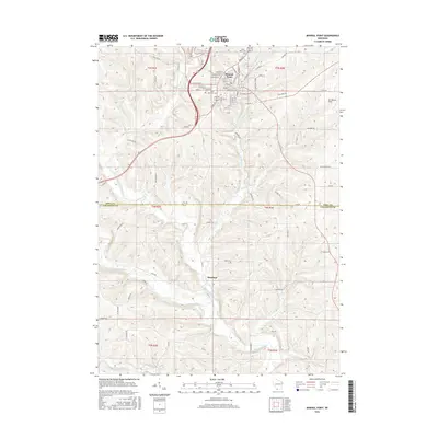
2016 Map of Mineral Point
USGS Topo · Published 2016About this map
Mineral Point dominates the northern half of this landscape, its street grid following the local topography with notable routes like Shakrag St and Merry Christmas Ln hinting at the area's cultural heritage. The city is flanked by several significant burial grounds, including Graceland Cemetery, Saint Marys Cemetery, and Saint Paul Cemetery, which serve as vital touchstones for genealogical research in Iowa County.
Find a feature on this map
80 named features on this map. Tap any name to fly to it.
Don’t see what you’re looking for? This feature index may not catch every label — zoom into the map to look around manually.
Map Details
Editions of this 2016 Mineral Point Map
This is the sole edition of this map. No revisions or reprints were ever made.
Other maps of this area

1902 · Mineral Point
USGS Topo · 1:125,000

1952 · Calamine
USGS Topo · 1:24,000

1952 · Mineral Point
USGS Topo · 1:24,000

1952 · Dodgeville
USGS Topo · 1:24,000

1952 · Belmont
USGS Topo · 1:24,000

1952 · Linden
USGS Topo · 1:24,000

1952 · Mifflin
USGS Topo · 1:24,000

1959 · Dubuque
USGS Topo · 1:250,000

1961 · Dubuque
USGS Topo · 1:250,000

1962 · Dubuque
USGS Topo · 1:250,000