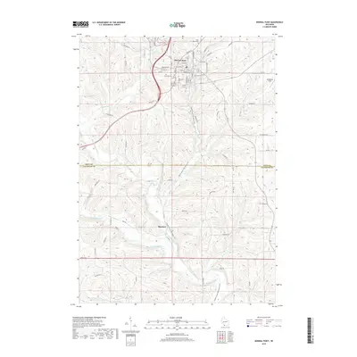
2018 Map of Mineral Point
USGS Topo · Published 2018About this map
Mineral Point stands at the center of this 2018 survey, characterized by its dense grid of streets that reflect its long-standing importance in the region. The map captures the meeting of several water systems, most notably the Pecatonica River and its various tributaries like the Mineral Point Branch and Brewery Cr. This topography highlights how the landscape shaped local development, from the industrial-tinged street names like Copper St and Shakerag St to the clustered sites of Saint Mary's Cem and Graceland Cem.
Find a feature on this map
75 named features on this map. Tap any name to fly to it.
Don’t see what you’re looking for? This feature index may not catch every label — zoom into the map to look around manually.
Map Details
Editions of this 2018 Mineral Point Map
This is the sole edition of this map. No revisions or reprints were ever made.
Other maps of this area

1902 · Mineral Point
USGS Topo · 1:125,000

1952 · Calamine
USGS Topo · 1:24,000

1952 · Mineral Point
USGS Topo · 1:24,000

1952 · Dodgeville
USGS Topo · 1:24,000

1952 · Belmont
USGS Topo · 1:24,000

1952 · Linden
USGS Topo · 1:24,000

1952 · Mifflin
USGS Topo · 1:24,000

1959 · Dubuque
USGS Topo · 1:250,000

1961 · Dubuque
USGS Topo · 1:250,000

1962 · Dubuque
USGS Topo · 1:250,000