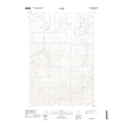
2020 Map of Mineral Ridge
USGS Topo · Published 2020About this map
Mineral Ridge and its surrounding drainage basins form a complex network of high-elevation terrain and seasonal waterways in this 2020 survey of Missoula County. The landscape is defined by the headwaters of numerous creeks, including Union Cr in the northeast and Cramer Cr in the south, which cut through the steep topography. A distinct transition in land management is evident between the gridded township divisions of t13n r16w and t12n r15w, where the road network reveals modern residential or recreational access via named ways like Hidden Treasure Ct and Copper Cliff Dr. Historic land use is suggested by the naming of Sheep Camp Rd and the Hole In The Wall Rd, reflecting the legacy of ranching and exploration in this portion of the Montana Rockies.
Find a feature on this map
48 named features on this map. Tap any name to fly to it.
Don’t see what you’re looking for? This feature index may not catch every label — zoom into the map to look around manually.
Map Details
Editions of this 2020 Mineral Ridge Map
This is the sole edition of this map. No revisions or reprints were ever made.
Other maps of this area

1903 · Bonner
USGS Topo · 1:125,000

1919 · Drummond
USGS Topo · 1:125,000

1921 · Drummond
USGS Topo · 1:125,000

1947 · Butte
USGS Topo · 1:250,000

1958 · Butte
USGS Topo · 1:250,000

1959 · Bearmouth
USGS Topo · 1:62,500

1959 · Ravenna
USGS Topo · 1:62,500

1960 · Butte
USGS Topo · 1:250,000

1962 · Butte
USGS Topo · 1:250,000

1965 · Union Peak
USGS Topo · 1:24,000