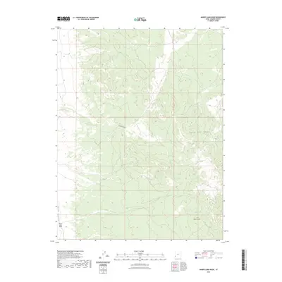
2023 Map of Miners Cabin Wash
USGS Topo · Published 2023About this map
Hamlin Valley defines the western edge of this landscape, where the seasonal drainage of Miners Cabin Wash cuts through the desert terrain. To the east, the topography rises sharply into the Indian Peak Range, a region marked by isolated water sources such as Ryan Spring and Chokecherry Spring. The drainage patterns here, including Greens Canyon and Indian Creek, reflect the arid nature of Beaver County, where these intermittent flows were vital to early ranching and migration routes.
Find a feature on this map
9 named features on this map. Tap any name to fly to it.
Don’t see what you’re looking for? This feature index may not catch every label — zoom into the map to look around manually.
Map Details
Editions of this 2023 Miners Cabin Wash Map
This is the sole edition of this map. No revisions or reprints were ever made.
Other maps of this area

1953 · Richfield
USGS Topo · 1:250,000

1956 · Lund
USGS Topo · 1:250,000

1958 · Richfield
USGS Topo · 1:250,000

1960 · Lund
USGS Topo · 1:250,000

1971 · Pinto Spring
USGS Topo · 1:24,000

1971 · Sawtooth Peak
USGS Topo · 1:24,000

1971 · Atchison Creek
USGS Topo · 1:24,000

1972 · Gleason Basin
USGS Topo · 1:24,000

1972 · Hamlin Well
USGS Topo · 1:24,000

1972 · White Rock Peak
USGS Topo · 1:24,000