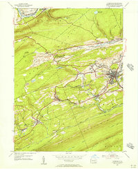
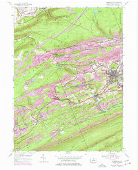
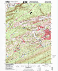
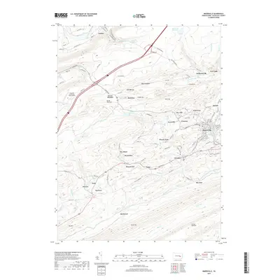
1955 Map of Minersville
USGS Topo · Published 1956About this map
Minersville sits at the heart of this mid-century survey, surrounded by a dense network of mining settlements and steep ridges characteristic of the Pennsylvania anthracite region. The landscape is defined by the heavy footprint of the coal industry, with numerous settlements like Coal Castle, Glendower, and New Mines positioned along the slopes of Mine Hill and Broad Mountain. The Reading railroad system provides the primary infrastructure, threading through the valleys to serve the collieries and connect towns such as Branch Dale and Llewellyn.
Find a feature on this map
62 named features on this map. Tap any name to fly to it.
Don’t see what you’re looking for? This feature index may not catch every label — zoom into the map to look around manually.
Map Details
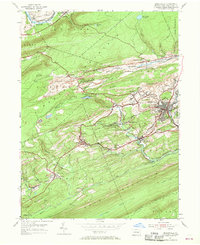
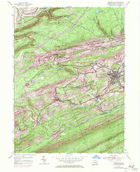
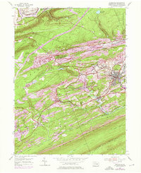
Editions of this 1955 Minersville Map
6 editions found
Historical Maps of Minersville Through Time
9 maps found
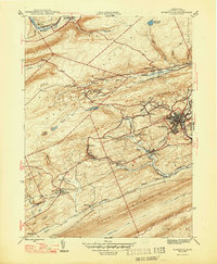
1947 Minersville
Schuylkill County, PA
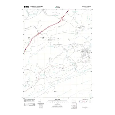
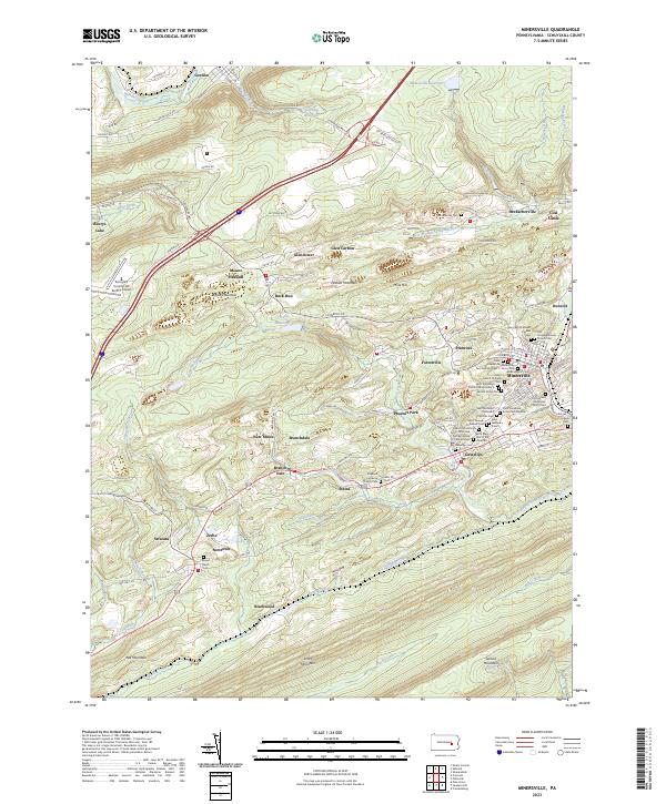
1955 Minersville
Schuylkill County, PA
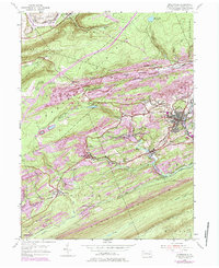
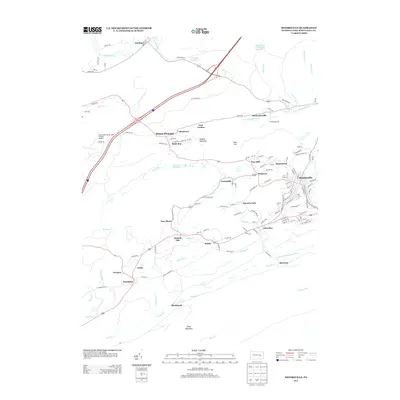
1976 Minersville
Schuylkill County, PA
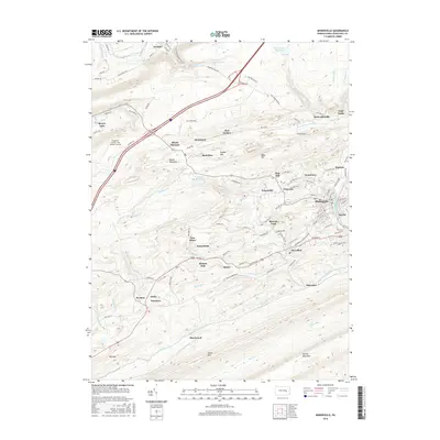
1999 Minersville
Schuylkill County, PA
2010 Minersville
Schuylkill County, PA
2013 Minersville
Schuylkill County, PA
2016 Minersville
Schuylkill County, PA
2019 Minersville
Schuylkill County, PA
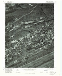
2023 Minersville
Schuylkill County, PA