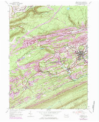
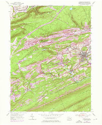
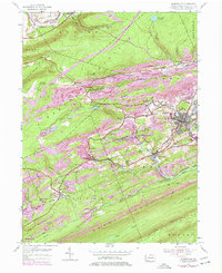
1955 Map of Minersville
USGS Topo · Published 1984About this map
Minersville and its surrounding coal-country settlements are etched into the steep topography of the anthracite region in this mid-century survey. The landscape is defined by parallel ridges like Mine Hill and Sharp Mountain, where the industrial footprint of extractive history is visible in the tightly packed neighborhoods of Heckscherville, Coal Castle, and Phoenix Park. This 1955 update reveals the evolution of transport and industry, including the Old Railroad Grade and active Conrail lines following the West Branch Schuylkill River and Muddy Branch. The settlement pattern reflects the era's mining economy, with small enclaves like New Mines and Glendower tucked into the valleys. Local landmarks such as the Schuylkill Airfield and the Firetower Mt Pleasant provide specific points of interest for researchers tracking the mid-20th-century development of Schuylkill County.
Find a feature on this map
52 named features on this map. Tap any name to fly to it.
Don’t see what you’re looking for? This feature index may not catch every label — zoom into the map to look around manually.
Map Details
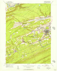
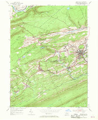
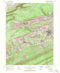
Editions of this 1955 Minersville Map
6 editions found
Other maps of this area

1889 · Catawissa
USGS Topo · 1:62,500

1889 · Pottsville
USGS Topo · 1:62,500

1891 · Pottsville
USGS Topo · 1:62,500

1892 · Catawissa
USGS Topo · 1:62,500

1892 · Mahanoy
USGS Topo · 1:62,500

1892 · Pine Grove
USGS Topo · 1:62,500

1893 · Mahanoy
USGS Topo · 1:62,500

1894 · Catawissa
USGS Topo · 1:62,500

1944 · Pottsville
USGS Topo · 1:24,000

1945 · Friedensburg
USGS Topo · 1:24,000