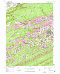
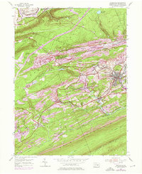
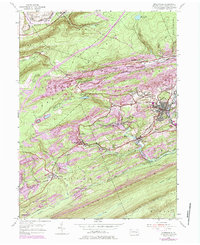
1955 Map of Minersville
USGS Topo · Published 1977About this map
Minersville and its surrounding coal communities dominate this mid-century Schuylkill County landscape, where the extraction industry is etched into the very terrain of Mine Hill and Sharp Mountain. The map reveals a dense network of company towns and patches like Heckscherville, Glen Carbon, and Branch Dale, all tied together by the Conrail rail lines that follow the tight valley floors. Significant revisions from the 1960s and 70s are visible in purple, highlighting shifts in infrastructure such as Interchange 35.
Find a feature on this map
63 named features on this map. Tap any name to fly to it.
Don’t see what you’re looking for? This feature index may not catch every label — zoom into the map to look around manually.
Map Details
Editions of this 1955 Minersville Map
6 editions found
Other maps of this area

1889 · Catawissa
USGS Topo · 1:62,500

1889 · Pottsville
USGS Topo · 1:62,500

1891 · Pottsville
USGS Topo · 1:62,500

1892 · Catawissa
USGS Topo · 1:62,500

1892 · Mahanoy
USGS Topo · 1:62,500

1892 · Pine Grove
USGS Topo · 1:62,500

1893 · Mahanoy
USGS Topo · 1:62,500

1894 · Catawissa
USGS Topo · 1:62,500

1944 · Pottsville
USGS Topo · 1:24,000

1945 · Friedensburg
USGS Topo · 1:24,000