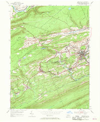
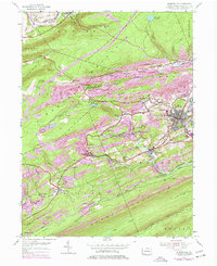
1955 Map of Minersville
USGS Topo · Published 1968About this map
Coal mining and mountain ridges dominate the landscape around Minersville in this mid-1950s depiction of Schuylkill County. The complex topography of Mine Hill, Broad Mountain, and Sharp Mountain dictates the settlement patterns, forcing towns into the valleys where the Reading railroad lines connect various colliery operations. Local history is etched into the terrain through features like the Firetower Mt Pleasant and industrial water supplies such as Crystal Res and Minersville Reservoir.
Find a feature on this map
62 named features on this map. Tap any name to fly to it.
Don’t see what you’re looking for? This feature index may not catch every label — zoom into the map to look around manually.
Map Details
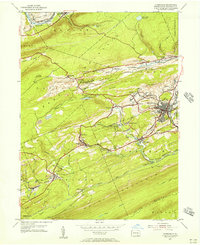
Editions of this 1955 Minersville Map
6 editions found
Other maps of this area

1889 · Catawissa
USGS Topo · 1:62,500

1889 · Pottsville
USGS Topo · 1:62,500

1891 · Pottsville
USGS Topo · 1:62,500

1892 · Catawissa
USGS Topo · 1:62,500

1892 · Mahanoy
USGS Topo · 1:62,500

1892 · Pine Grove
USGS Topo · 1:62,500

1893 · Mahanoy
USGS Topo · 1:62,500

1894 · Catawissa
USGS Topo · 1:62,500

1944 · Pottsville
USGS Topo · 1:24,000

1945 · Friedensburg
USGS Topo · 1:24,000