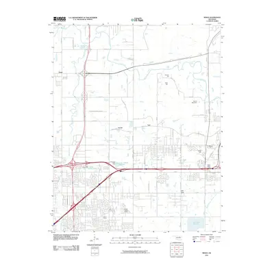
2010 Map of Mingo
USGS Topo · Published 2010About this map
Bird Creek and Mingo Creek define the northern drainage patterns of this Tulsa-area landscape, where suburban expansion meets legacy industrial and recreational sites. The map reveals the intricate network of arterial roads and residential developments that characterize communities like Garnett and Indian Hills. To the south, specialized land uses appear near the Harvey Young Airport and the Tulsa International Raceway, reflecting the region's mid-century and modern infrastructure. Water management is a visible priority, evidenced by the Vettie Cooley Dam and the Lynn Lane Reservoir. This survey also documents smaller local landmarks important to family history, such as the Duck Cemetery located near the eastern boundary. The presence of a Rock Quarry and major corridors like the Mingo Valley Access Rd show the area's role in supporting the growth of the broader metropolitan region.
Find a feature on this map
59 named features on this map. Tap any name to fly to it.
Don’t see what you’re looking for? This feature index may not catch every label — zoom into the map to look around manually.
Map Details
Editions of this 2010 Mingo Map
This is the sole edition of this map. No revisions or reprints were ever made.
Other maps of this area

1901 · Claremore
USGS Topo · 1:125,000

1914 · Claremore
USGS Topo · 1:125,000

1916 · Claremore
USGS Topo · 1:125,000

1952 · Jenks
USGS Topo · 1:24,000

1954 · Tulsa
USGS Topo · 1:250,000

1954 · Tulsa
USGS Topo · 1:24,000

1955 · Sperry
USGS Topo · 1:24,000

1955 · Mingo
USGS Topo · 1:24,000

1955 · Broken Arrow
USGS Topo · 1:24,000

1956 · Collinsville
USGS Topo · 1:24,000