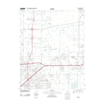
2012 Map of Mingo
USGS Topo · Published 2012About this map
The eastern edges of Tulsa and the surrounding corridor towards Catoosa are detailed here, highlighting the dense transportation network that defines the region. The Mingo Valley Expy and numerous arterial roads like E 46th St N and E Apache St serve the residential and industrial growth near the Tulsa International Airport. The map documents a blend of academic and aviation infrastructure, from the Phillips Theological Seminary to the Univ Of Phoenix Tulsa Campus and Harvey Young Airport.
Find a feature on this map
166 named features on this map. Tap any name to fly to it.
Don’t see what you’re looking for? This feature index may not catch every label — zoom into the map to look around manually.
Map Details
Editions of this 2012 Mingo Map
This is the sole edition of this map. No revisions or reprints were ever made.
Other maps of this area

1901 · Claremore
USGS Topo · 1:125,000

1914 · Claremore
USGS Topo · 1:125,000

1916 · Claremore
USGS Topo · 1:125,000

1952 · Jenks
USGS Topo · 1:24,000

1954 · Tulsa
USGS Topo · 1:250,000

1954 · Tulsa
USGS Topo · 1:24,000

1955 · Sperry
USGS Topo · 1:24,000

1955 · Mingo
USGS Topo · 1:24,000

1955 · Broken Arrow
USGS Topo · 1:24,000

1956 · Collinsville
USGS Topo · 1:24,000