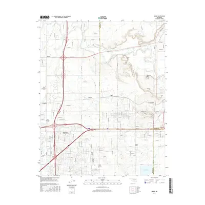
2016 Map of Mingo
USGS Topo · Published 2016About this map
Tulsa and its eastern suburbs are shown here as they appeared in 2016, a landscape defined by the convergence of the Tulsa International Airport and a dense network of residential and industrial developments. The map provides significant detail for local historians and genealogists, featuring several burial grounds such as Harlow Cem and Grayson Cem. The transition from the urban density of Tulsa to the rolling terrain of Indian Hills and the community of Catoosa highlights the region's mid-decade expansion. Water features like Bird Creek and Mingo Creek wind through the topography, while landmarks such as Phillips Theological Seminary and the Harvey Young Airport anchor the suburban corridors. This survey serves as a precise record of the arterial road systems and municipal boundaries where Tulsa, Rogers, and Wagoner counties meet.
Find a feature on this map
91 named features on this map. Tap any name to fly to it.
Don’t see what you’re looking for? This feature index may not catch every label — zoom into the map to look around manually.
Map Details
Editions of this 2016 Mingo Map
This is the sole edition of this map. No revisions or reprints were ever made.
Other maps of this area

1901 · Claremore
USGS Topo · 1:125,000

1914 · Claremore
USGS Topo · 1:125,000

1916 · Claremore
USGS Topo · 1:125,000

1952 · Jenks
USGS Topo · 1:24,000

1954 · Tulsa
USGS Topo · 1:250,000

1954 · Tulsa
USGS Topo · 1:24,000

1955 · Sperry
USGS Topo · 1:24,000

1955 · Mingo
USGS Topo · 1:24,000

1955 · Broken Arrow
USGS Topo · 1:24,000

1956 · Collinsville
USGS Topo · 1:24,000