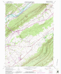
1966 Map of Mingoville
USGS Topo · Published 1990About this map
Bald Eagle Mountain and Little Nittany Mountain dominate this mid-century view of Centre County, defining the valley corridors that shaped the region's transport and settlement. The Nittany Valley serves as a central hub for agricultural and recreational activity, featuring the Nittany Country Club and the community of Mingoville. Near the northern boundary, the Howard Joseph Sayers Lake provides a significant water feature alongside the Penn Central railroad lines.
Find a feature on this map
47 named features on this map. Tap any name to fly to it.
Don’t see what you’re looking for? This feature index may not catch every label — zoom into the map to look around manually.
Map Details
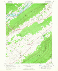
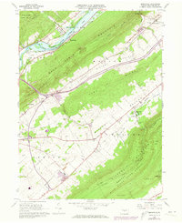
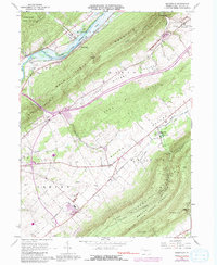
Editions of this 1966 Mingoville Map
4 editions found
Other maps of this area

1908 · Bellefonte
USGS Topo · 1:62,500

1909 · Bellefonte
USGS Topo · 1:62,500

1921 · Howard
USGS Topo · 1:48,000

1923 · Howard
USGS Topo · 1:62,500

1924 · Centre Hall
USGS Topo · 1:62,500

1928 · Snow Shoe
USGS Topo · 1:48,000

1929 · Centre Hall
USGS Topo · 1:62,500

1931 · Show Shoe
USGS Topo · 1:62,500

1943 · Lewistown
USGS Topo · 1:125,000

1950 · Harrisburg
USGS Topo · 1:250,000