
1944 Map of Mingus Mountain
USGS Topo · Published 1947About this map
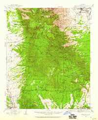
The Mingus Mountain skyline dominates this 1940s landscape, serving as a high-altitude center for mining activity and forest management within the Prescott National Forest. Mining operations are pervasive across the slopes, from the Iron King Mine and Copper Chief Mine in the north to the Cherry King Mines near the settlement of Cherry. These workings suggest an era when mineral extraction was the primary driver of the local economy and infrastructure.
Find a feature on this map
91 named features on this map. Tap any name to fly to it.
Don’t see what you’re looking for? This feature index may not catch every label — zoom into the map to look around manually.
Map Details
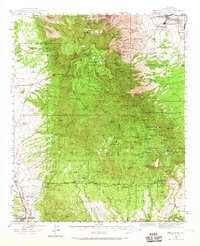
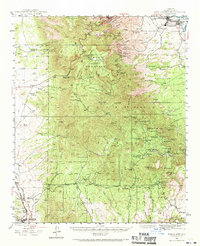
Editions of this 1944 Mingus Mountain Map
4 editions found
Other maps of this area

1887 · Verde
USGS Topo · 1:250,000

1887 · Prescott
USGS Topo · 1:250,000

1892 · Verde
USGS Topo · 1:250,000

1892 · Prescott
USGS Topo · 1:250,000

1903 · Bradshaw Mountains
USGS Topo · 1:125,000

1905 · Jerome
USGS Topo · 1:125,000

1923 · Camp Verde
USGS Topo · 1:125,000

1929 · Turret Peak
USGS Topo · 1:125,000

1932 · Camp Verde
USGS Topo · 1:125,000

1933 · Turret Peak
USGS Topo · 1:125,000