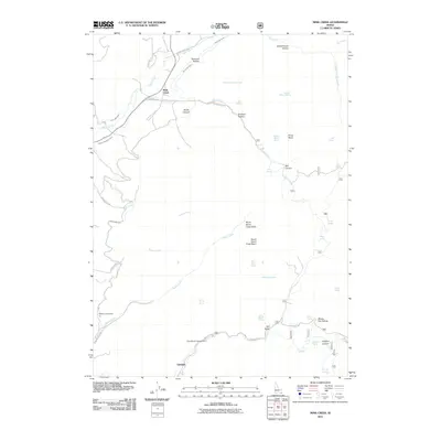
2011 Map of Mink Creek
USGS Topo · Published 2011About this map
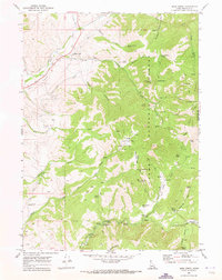
Mink Creek and the southern settlement of Glendale anchor this 2011 survey of Franklin County, where a complex network of agricultural infrastructure manages the high-elevation water table. Irrigation remains central to the local economy, as evidenced by the Mink Creek Canal, Twin Lakes Canal, and Preston Riverdale Canal weaving through the northern terrain. The landscape is defined by deep drainage basins and canyons, including North Worm Creek Basin and Mill Canyon, which gather runoff from numerous mountain springs like Horse Basin Spring and Budge Spring.
Find a feature on this map
53 named features on this map. Tap any name to fly to it.
Don’t see what you’re looking for? This feature index may not catch every label — zoom into the map to look around manually.
Map Details
Editions of this 2011 Mink Creek Map
This is the sole edition of this map. No revisions or reprints were ever made.
Other maps of this area

1915 · Preston
USGS Topo · 1:96,000

1918 · Preston
USGS Topo · 1:125,000

1955 · Preston
USGS Topo · 1:250,000

1958 · Preston
USGS Topo · 1:250,000

1962 · Preston
USGS Topo · 1:250,000
1969 · Midnight Mtn
USGS Topo · 1:24,000
1969 · Egan Basin
USGS Topo · 1:24,000
1969 · Treasureton
USGS Topo · 1:24,000
1969 · Mink Creek
USGS Topo · 1:24,000
1969 · Paris Peak
USGS Topo · 1:24,000