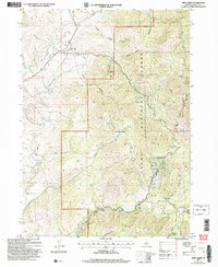
2005 Map of Mink Creek
USGS Topo · Published 2007About this map
Mink Creek and its neighboring valleys characterize this landscape within the Cache National Forest, as documented in this 2005 revision. The settlement at Mink Creek includes a local Cem, while to the south, the Willow Flat area sits near the confluence of the Cub River and Soft Help Hollow. The map captures several distinctive infrastructure markers, including the Station Creek Tunnel and a Gaging Station located along the riverbanks.
Find a feature on this map
60 named features on this map. Tap any name to fly to it.
Don’t see what you’re looking for? This feature index may not catch every label — zoom into the map to look around manually.
Map Details
Editions of this 2005 Mink Creek Map
This is the sole edition of this map. No revisions or reprints were ever made.
Other maps of this area

1915 · Preston
USGS Topo · 1:96,000

1918 · Preston
USGS Topo · 1:125,000

1955 · Preston
USGS Topo · 1:250,000

1958 · Preston
USGS Topo · 1:250,000

1962 · Preston
USGS Topo · 1:250,000
1969 · Midnight Mtn
USGS Topo · 1:24,000
1969 · Egan Basin
USGS Topo · 1:24,000
1969 · Treasureton
USGS Topo · 1:24,000
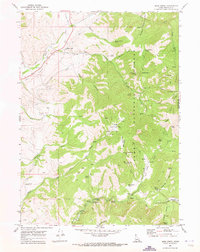
1969 · Mink Creek
USGS Topo · 1:24,000
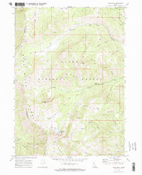
1969 · Paris Peak
USGS Topo · 1:24,000