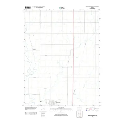
2009 Map of Minneapolis North
USGS Topo · Published 2009About this map
The Solomon River winds through the southwestern corner of this Ottawa County landscape, setting the stage for a region defined by its waterway network and agricultural grid. The city of Minneapolis serves as the primary anchor at the southern edge, showing a detailed street plan including Clay St, Pipe St, and E 10th St. To the north and west, smaller settlements like Summerville and the landing at Alfmil are connected by a methodical system of rural roads, such as N 110th Rd and Prairie Rd. Multiple tributaries, including West Pipe Creek, Pine Creek, and Lindsey Creek, cut across the section lines, illustrating how the natural drainage of the Kansas plains influenced the placement of farms and early homesteads. This map captures the transition from the organized urban center of Minneapolis to the open, creek-fed terrain of the surrounding townships.
Find a feature on this map
31 named features on this map. Tap any name to fly to it.
Don’t see what you’re looking for? This feature index may not catch every label — zoom into the map to look around manually.
Map Details
Editions of this 2009 Minneapolis North Map
This is the sole edition of this map. No revisions or reprints were ever made.
Other maps of this area

1892 · Minneapolis
USGS Topo · 1:125,000

1952 · Glasco
USGS Topo · 1:24,000

1955 · Manhattan
USGS Topo · 1:250,000

1956 · Manhattan
USGS Topo · 1:250,000

1957 · Manhattan
USGS Topo · 1:250,000

1961 · Tescott NE
USGS Topo · 1:24,000

1964 · Lamar
USGS Topo · 1:24,000
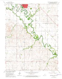
1965 · Minneapolis South
USGS Topo · 1:24,000

1965 · Minneapolis North
USGS Topo · 1:24,000
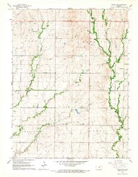
1965 · Aurora SW
USGS Topo · 1:24,000