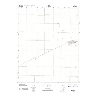
2010 Map of Minneola
USGS Topo · Published 2010About this map
Minneola serves as the primary hub of this Clark County landscape, where the local street grid including Oak St and E Front St meets the diagonal path of US Hwy 54. The surrounding terrain is organized by a strict rectilinear grid of rural routes such as County Line Rd, 106 Rd, and Yucca Rd, reflecting the enduring agricultural layout of the Kansas plains. To the southwest, the Kennedy Glider Port stands out as a specialized aviation landmark, while the Minneola Cemetery south of town provides a focused point of interest for genealogists tracing regional family history. The network of lettered and numbered roads like F Rd and 32 Rd illustrates the systematic connection between isolated farmsteads and the central township.
Find a feature on this map
18 named features on this map. Tap any name to fly to it.
Don’t see what you’re looking for? This feature index may not catch every label — zoom into the map to look around manually.
Map Details
Editions of this 2010 Minneola Map
This is the sole edition of this map. No revisions or reprints were ever made.
Other maps of this area

1892 · Meade
USGS Topo · 1:125,000

1892 · Dodge
USGS Topo · 1:125,000

1892 · Spearville
USGS Topo · 1:125,000

1894 · Spearville
USGS Topo · 1:125,000

1896 · Ashland
USGS Topo · 1:125,000

1955 · Pratt
USGS Topo · 1:250,000

1955 · Dodge City
USGS Topo · 1:250,000

1958 · Dodge City
USGS Topo · 1:250,000

1959 · Pratt
USGS Topo · 1:250,000

1959 · Dodge City
USGS Topo · 1:250,000