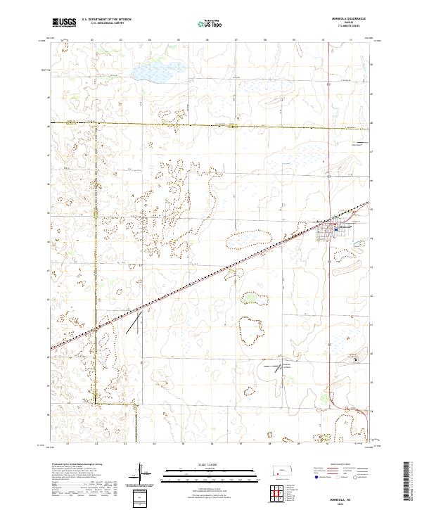
2022 Map of Minneola
USGS Topo · Published 2022About this map
Minneola serves as the primary hub of this High Plains landscape, where the street grid is anchored by W Front St and E Front St near the local rail corridor. The town's organization is clearly defined by named thoroughfares like Cypress St, Olive St, and Maple St, reflecting a classic Midwestern settlement pattern. Beyond the town limits, the geography is dominated by an extensive section-line road network, including Yucca Rd and Co Line Rd, which segment the agricultural lands of Clark, Ford, and Meade counties.
Find a feature on this map
37 named features on this map. Tap any name to fly to it.
Don’t see what you’re looking for? This feature index may not catch every label — zoom into the map to look around manually.
Map Details
Editions of this 2022 Minneola Map
This is the sole edition of this map. No revisions or reprints were ever made.
Other maps of this area

1892 · Meade
USGS Topo · 1:125,000

1892 · Dodge
USGS Topo · 1:125,000

1892 · Spearville
USGS Topo · 1:125,000

1894 · Spearville
USGS Topo · 1:125,000

1896 · Ashland
USGS Topo · 1:125,000

1955 · Pratt
USGS Topo · 1:250,000

1955 · Dodge City
USGS Topo · 1:250,000

1958 · Dodge City
USGS Topo · 1:250,000

1959 · Pratt
USGS Topo · 1:250,000

1959 · Dodge City
USGS Topo · 1:250,000