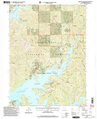
1998 Map of Minnesota Mountain
USGS Topo · Published 2003About this map
Minnesota Mountain and the surrounding peaks tower over the northern reaches of Shasta Lake, where the Mc Cloud River Arm and Squaw Creek Arm dominate the flooded landscape. This 1990s survey, revised by the Forest Service, documents a region where industry and recreation overlap. Traces of historical mining and early settlements are visible at Winthrop and the Bully Hill Site, alongside numerous Prospects and a Quarry near Killanger Peak. The topography is defined by steep ridges and deep drainages like Didallas Creek and Frenchman Gulch. While the Silverthorn Bay Resort indicates the area's modern role as a recreation hub within the Whiskeytown Shasta - Trinity National Recreation Area, the map preserves the names of earlier eras, such as the site of Ydaloam.
Find a feature on this map
63 named features on this map. Tap any name to fly to it.
Don’t see what you’re looking for? This feature index may not catch every label — zoom into the map to look around manually.
Map Details
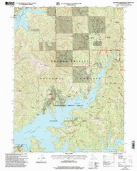
Editions of this 1998 Minnesota Mountain Map
2 editions found
Other maps of this area

1890 · Red Bluff
USGS Topo · 1:250,000

1894 · Red Bluff
USGS Topo · 1:250,000

1901 · Redding
USGS Topo · 1:125,000

1944 · Redding
USGS Topo · 1:62,500

1946 · Lamoine
USGS Topo · 1:62,500

1946 · Redding
USGS Topo · 1:62,500

1949 · Bollibokka Mtn
USGS Topo · 1:62,500

1953 · Millville
USGS Topo · 1:62,500
1957 · Project City
USGS Topo · 1:24,000
1957 · Lamoine
USGS Topo · 1:62,500