
1964 Map of Minnesota Pass
USGS Topo · Published 1967About this map
The Gunnison National Forest high country, as it appeared in the mid-1960s, is dominated by the massive ridge lines of the Chain Mountains and Mount Gunnison. This landscape serves as a critical watershed for the West Slope, with waters collected in Beaver Reservoir and Minnesota Reservoir to supply lower-elevation ranching and agriculture. The map documents an intricate network of historical routes, including the Sunset Trail and the Through Line Trail, which traverse high passes such as Minnesota Pass and Elk Basin Pass. These trails and landmarks like Wooten Mesa and Lion Mesa underscore the region's importance for both early forest management and seasonal livestock movement. The presence of Coal Mountain hints at the underlying geology that would define much of the regional industry beyond the forest boundaries.
Find a feature on this map
38 named features on this map. Tap any name to fly to it.
Don’t see what you’re looking for? This feature index may not catch every label — zoom into the map to look around manually.
Map Details
Editions of this 1964 Minnesota Pass Map
3 editions found
Other maps of this area

1938 · Mt. Gunnison
USGS Topo · 1:48,000

1945 · Mount Gunnison
USGS Topo · 1:62,500

1956 · Montrose
USGS Topo · 1:250,000

1959 · Montrose
USGS Topo · 1:250,000

1960 · Montrose
USGS Topo · 1:250,000
1964 · West Beckwith Peak
USGS Topo · 1:24,000
1964 · Paonia Reservoir
USGS Topo · 1:24,000
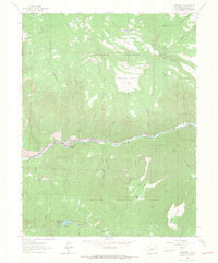
1964 · Somerset
USGS Topo · 1:24,000

1965 · Mount Guero
USGS Topo · 1:24,000
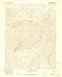
1965 · Big Soap Park
USGS Topo · 1:24,000