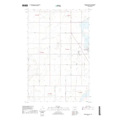
2017 Map of Minnewaukan West
USGS Topo · Published 2017About this map
Minnewaukan serves as the focal point of this Benson County landscape, positioned along the western reaches of the complex Devils Lake shoreline. The prairie terrain is defined by a dense grid of rural corridors such as Toso Rd and Stolz Rd, which navigate an area punctuated by small wetlands and depressions. The town's local history is anchored by several burial sites, including the Minnewaukan Cemetery and Saint Peter Cemetery near the northern developed edge, while the Free Church Cemetery sits further south in the open countryside. To the southeast, the water levels of Long Lake reflect the hydrologic variability typical of this region. This survey captures the layout of the township and range system, including sections of t153n r67w and t154n r67w, at a time when road connectivity and water boundaries were central to the area's geography.
Find a feature on this map
33 named features on this map. Tap any name to fly to it.
Don’t see what you’re looking for? This feature index may not catch every label — zoom into the map to look around manually.
Map Details
Editions of this 2017 Minnewaukan West Map
This is the sole edition of this map. No revisions or reprints were ever made.
Other maps of this area

1931 · Oberon
USGS Topo · 1:62,500

1932 · Flora
USGS Topo · 1:62,500

1932 · Grahams Island
USGS Topo · 1:62,500

1950 · Grahams Island
USGS Topo · 1:62,500

1950 · Oberon
USGS Topo · 1:62,500

1951 · Oberon
USGS Topo · 1:24,000

1951 · Tilden
USGS Topo · 1:24,000

1951 · Minnewaukan East
USGS Topo · 1:24,000

1951 · Flora
USGS Topo · 1:24,000

1951 · Josephine
USGS Topo · 1:24,000