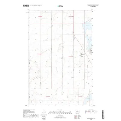
2020 Map of Minnewaukan West
USGS Topo · Published 2020About this map
The Benson County Court House stands as the central landmark of Minnewaukan, the county seat situated on the western edge of the expansive Devils Lake basin. This plains landscape is defined by the section-line road network, including Toso Rd and 62nd Ave, which cross a terrain dotted with numerous prairie potholes and wetlands typical of the region's glacially formed topography.
Find a feature on this map
38 named features on this map. Tap any name to fly to it.
Don’t see what you’re looking for? This feature index may not catch every label — zoom into the map to look around manually.
Map Details
Editions of this 2020 Minnewaukan West Map
This is the sole edition of this map. No revisions or reprints were ever made.
Other maps of this area

1931 · Oberon
USGS Topo · 1:62,500

1932 · Flora
USGS Topo · 1:62,500

1932 · Grahams Island
USGS Topo · 1:62,500

1950 · Grahams Island
USGS Topo · 1:62,500

1950 · Oberon
USGS Topo · 1:62,500

1951 · Oberon
USGS Topo · 1:24,000

1951 · Tilden
USGS Topo · 1:24,000

1951 · Minnewaukan East
USGS Topo · 1:24,000

1951 · Flora
USGS Topo · 1:24,000

1951 · Josephine
USGS Topo · 1:24,000