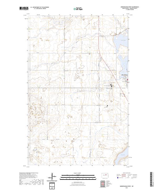
2024 Map of Minnewaukan West
USGS Topo · Published 2024About this map
Minnewaukan serves as the focal point of this Benson County landscape, situated where the northern prairies meet the shifting western shoreline of Devils Lake. The town's significance as a local center of government is marked by the Benson County Court House, while its community history is preserved across several burial grounds including Minnewaukan Cem, Saint James Catholic Cem, and Trinity Free Cem. The surrounding terrain is characterized by the complex wetland systems of the Benson County Waterfowl Production Area, reflecting the region's importance for migratory birds and conservation. A network of rural section-line roads, such as Toso Rd and Stolz Rd, provides a structured grid through the pothole-dotted landscape, connecting isolated landmarks like the Free Church Cem to the south. Further south, the map reaches the edges of Long Lake, showing the transition from agricultural tracts to significant water bodies.
Find a feature on this map
30 named features on this map. Tap any name to fly to it.
Don’t see what you’re looking for? This feature index may not catch every label — zoom into the map to look around manually.
Map Details
Editions of this 2024 Minnewaukan West Map
This is the sole edition of this map. No revisions or reprints were ever made.
Other maps of this area

1931 · Oberon
USGS Topo · 1:62,500

1932 · Flora
USGS Topo · 1:62,500

1932 · Grahams Island
USGS Topo · 1:62,500

1950 · Grahams Island
USGS Topo · 1:62,500

1950 · Oberon
USGS Topo · 1:62,500

1951 · Oberon
USGS Topo · 1:24,000

1951 · Tilden
USGS Topo · 1:24,000

1951 · Minnewaukan East
USGS Topo · 1:24,000

1951 · Flora
USGS Topo · 1:24,000

1951 · Josephine
USGS Topo · 1:24,000