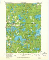
1966 Map of Minocqua
USGS Topo · Published 1972About this map
Minocqua and Woodruff form the heart of this mid-1960s survey of the Wisconsin lake country, an area defined by dense water bodies and early timber-related infrastructure. The landscape is heavily protected by the Northern Highland State Forest and the American Legion State Forest, showcasing a transition from the original logging era toward a mid-century recreational economy. Traces of the region's industrial past are visible in the Old Railroad Grade near Sayner and various gravel pits used for road building. Local infrastructure of the era is well-represented, including the Fish Hatchery near Woodruff, the Lakeland Municipal Airport, and the Hazelhurst-Minocqua Sch. Cultural landmarks like the Indian Mound Campground and the Ski Lift Muskellunge Lookout Tower reflect the deep history and the developing tourism industry that shaped these northwoods communities.
Find a feature on this map
165 named features on this map. Tap any name to fly to it.
Don’t see what you’re looking for? This feature index may not catch every label — zoom into the map to look around manually.
Map Details
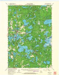
Editions of this 1966 Minocqua Map
2 editions found
Other maps of this area

1930 · Robbins
USGS Topo · 1:48,000

1938 · Minocqua
USGS Topo · 1:48,000

1938 · Robbins
USGS Topo · 1:48,000

1938 · Lac Du Flambeau
USGS Topo · 1:48,000

1939 · Trout Lake
USGS Topo · 1:48,000

1939 · Lac Du Flambeau
USGS Topo · 1:48,000

1939 · Mc Cord
USGS Topo · 1:48,000

1939 · Winchester
USGS Topo · 1:48,000

1939 · Cassian
USGS Topo · 1:48,000

1940 · Rhinelander
USGS Topo · 1:48,000