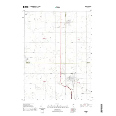
2018 Map of Minonk
USGS Topo · Published 2018About this map
Minonk sits at the intersection of three central Illinois counties, serving as a hub for the surrounding agricultural prairie. This landscape is defined by the headwaters of several drainages, including Long Point Cr and the north and south branches of Crow Creek. The map documents a strictly organized grid of county roads, such as County Road 2000 N and North 0 Road Base Road, which delineate the farmsteads and fields of the region. Local aviation history is marked by small rural facilities like Hattan Farms Airport and Oltman- Shuck Airport. Genealogical interest is found in the scattered burial grounds that serve these rural communities, including Saint Patricks Cemetery, Rutland Cemetery, and Saint Johns Cemetery. The layout of Rutland and the outskirts of Toluca further illustrate the enduring small-town settlement pattern of the Illinois heartland.
Find a feature on this map
53 named features on this map. Tap any name to fly to it.
Don’t see what you’re looking for? This feature index may not catch every label — zoom into the map to look around manually.
Map Details
Editions of this 2018 Minonk Map
This is the sole edition of this map. No revisions or reprints were ever made.
Other maps of this area

1925 · Streator
USGS Topo · 1:62,500

1927 · Streator
USGS Topo · 1:62,500

1934 · Wenona
USGS Topo · 1:48,000

1939 · Wenona
USGS Topo · 1:62,500

1955 · Minonk
USGS Topo · 1:62,500

1958 · Flanagan
USGS Topo · 1:62,500

1958 · Aurora
USGS Topo · 1:250,000

1958 · Peoria
USGS Topo · 1:250,000

1961 · Aurora
USGS Topo · 1:250,000

1961 · Peoria
USGS Topo · 1:250,000