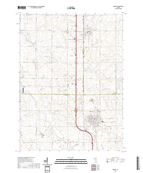
2024 Map of Minonk
USGS Topo · Published 2024About this map
Minonk sits at the junction of several county lines in central Illinois, serving as a primary settlement hub along the north-south transport corridor. The landscape is defined by the headwaters of several drainages, including North Branch Crow Creek and South Branch Crow Creek, which cut through the agricultural grid. These streams reflect the natural topography that directed early settlement patterns before the modern road network was established. To the north, the smaller village of Rutland is anchored by its local landmarks like Rutland Cem and W Race St.
Find a feature on this map
42 named features on this map. Tap any name to fly to it.
Don’t see what you’re looking for? This feature index may not catch every label — zoom into the map to look around manually.
Map Details
Editions of this 2024 Minonk Map
This is the sole edition of this map. No revisions or reprints were ever made.
Other maps of this area

1925 · Streator
USGS Topo · 1:62,500

1927 · Streator
USGS Topo · 1:62,500

1934 · Wenona
USGS Topo · 1:48,000

1939 · Wenona
USGS Topo · 1:62,500

1955 · Minonk
USGS Topo · 1:62,500

1958 · Flanagan
USGS Topo · 1:62,500

1958 · Aurora
USGS Topo · 1:250,000

1958 · Peoria
USGS Topo · 1:250,000

1961 · Aurora
USGS Topo · 1:250,000

1961 · Peoria
USGS Topo · 1:250,000