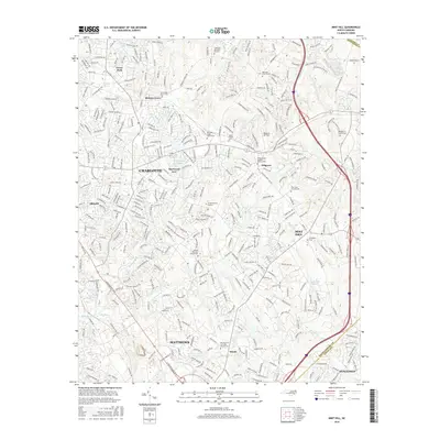
2016 Map of Mint Hill
USGS Topo · Published 2016About this map
The growing suburban corridor between Charlotte and Mint Hill is documented in this 2016 survey, where residential development and large-scale memorial sites sit alongside remaining pockets of the Piedmont landscape. The map highlights numerous legacy sites for genealogists, including Saint Pauls Church Cem, Robinson Church Cem, and the Bethel AME Zion Church Cem. Aviation history is present at the Wilgrove Air Park, situated north of the Mint Hill center. The drainage patterns of the region are defined by McAlpine Cr, Irvins Cr, and Goose Cr, which flow through the developing neighborhoods of Idlewild, Wilgrove, and Hickory Grove. At the southern edge, the map captures the northern limits of Matthews and the community of Hoods, illustrating the expansion of the metropolitan footprint toward the Union County line.
Find a feature on this map
350 named features on this map. Tap any name to fly to it.
Don’t see what you’re looking for? This feature index may not catch every label — zoom into the map to look around manually.
Map Details
Editions of this 2016 Mint Hill Map
This is the sole edition of this map. No revisions or reprints were ever made.
Other maps of this area

1905 · Charlotte
USGS Topo · 1:48,000

1907 · Charlotte
USGS Topo · 1:62,500

1941 · Charlotte
USGS Topo · 1:125,000

1942 · Charlotte
USGS Topo · 1:125,000

1948 · Derita
USGS Topo · 1:24,000

1948 · Charlotte East
USGS Topo · 1:24,000

1949 · Charlotte East
USGS Topo · 1:24,000

1949 · Harrisburg
USGS Topo · 1:24,000

1949 · Wilgrove
USGS Topo · 1:24,000

1949 · Midland
USGS Topo · 1:24,000