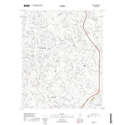
2019 Map of Mint Hill
USGS Topo · Published 2019About this map
Mint Hill and the southeastern outskirts of Charlotte reveal a landscape shaped by rapid suburban expansion across the Mecklenburg and Union County line. While modern arterial roads like E Independence Blvd and Albemarle Rd define the commute, the area’s earlier rural character is preserved in its many congregational landmarks. Numerous historic burial grounds and places of worship, such as Bethel AME-Zion Church Cem and Saint Pauls Church Cem, remain as anchors for older communities like Hickory Grove and Wilgrove.
Find a feature on this map
45 named features on this map. Tap any name to fly to it.
Don’t see what you’re looking for? This feature index may not catch every label — zoom into the map to look around manually.
Map Details
Editions of this 2019 Mint Hill Map
This is the sole edition of this map. No revisions or reprints were ever made.
Other maps of this area

1905 · Charlotte
USGS Topo · 1:48,000

1907 · Charlotte
USGS Topo · 1:62,500

1941 · Charlotte
USGS Topo · 1:125,000

1942 · Charlotte
USGS Topo · 1:125,000

1948 · Derita
USGS Topo · 1:24,000

1948 · Charlotte East
USGS Topo · 1:24,000

1949 · Charlotte East
USGS Topo · 1:24,000

1949 · Harrisburg
USGS Topo · 1:24,000

1949 · Wilgrove
USGS Topo · 1:24,000

1949 · Midland
USGS Topo · 1:24,000