Loading...
Loading map...2022 Map of Mint Hill
USGS Topo · Published 2022About this map
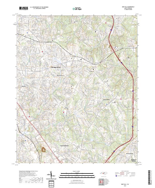
The boundary between Mecklenburg Co and Union Co defines the southeastern edge of this modern landscape, where the expanding suburbs of Charlotte meet the established towns of Mint Hill and Matthews. The map reveals a dense network of major thoroughfares like E Independence Blvd and Albemarle RD, which cut through a mosaic of residential developments and older community centers such as Idlewild and Wilgrove.
Find a feature on this map
55 named features on this map. Tap any name to fly to it.
Don’t see what you’re looking for? This feature index may not catch every label — zoom into the map to look around manually.
Map Details
Date Portrayed2022
Date Published2022
PublisherU.S. Geological Survey
Map TypeTopographic
Scale1:24000
Physical Dimensions24 x 29 inches
Editions of this 2022 Mint Hill Map
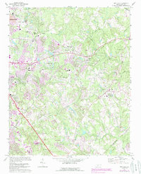
This is the sole edition of this map. No revisions or reprints were ever made.
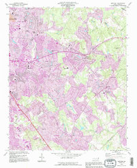
Historical Maps of Indian Trail Through Time
3 maps found
Featured Locations
Source Details
SourceU.S. Geological Survey
CopyrightPublic Domain