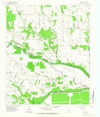
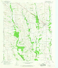
1963 Map of Minter
USGS Topo · Published 1964About this map
The agricultural landscape of Lamar and Delta Counties is defined here by the parallel paths of the North Sulphur River and the South Sulphur River. In the early 1960s, this area supported several small rural nodes including Minter, Kensing, and Taylor Town. These communities are often anchored by local landmarks like Minter Cem and Kensing Cem, which offer significant value for genealogists tracing family histories in the region.
Find a feature on this map
20 named features on this map. Tap any name to fly to it.
Don’t see what you’re looking for? This feature index may not catch every label — zoom into the map to look around manually.
Map Details
Editions of this 1963 Minter Map
This is the sole edition of this map. No revisions or reprints were ever made.
Other maps of this area
1903 · Paris
USGS Topo · 1:125,000
1948 · Paris
USGS Topo · 1:62,500
1949 · Paris
USGS Topo · 1:62,500

1953 · Texarkana
USGS Topo · 1:250,000

1956 · Texarkana
USGS Topo · 1:250,000
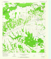
1962 · Sulphur Bluff
USGS Topo · 1:24,000
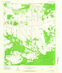
1963 · Mitchell Creek
USGS Topo · 1:24,000
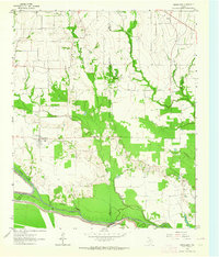
1963 · Cunningham
USGS Topo · 1:24,000
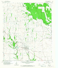
1964 · Deport
USGS Topo · 1:24,000
1964 · Pattonville
USGS Topo · 1:24,000