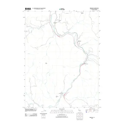
2012 Map of Miranda
USGS Topo · Published 2012About this map
The S Fork Eel River carves a winding path through this portion of Humboldt County, serving as the primary corridor for both transport and settlement. Along its banks, the small communities of Miranda and Phillipsville are linked by a network of riverside roads including Redwood Dr and Maple Hills Rd. The presence of the Eel River Conservation Camp and Coombs Field near the northern bend of the river indicates a landscape managed for both public service and local utility.
Find a feature on this map
50 named features on this map. Tap any name to fly to it.
Don’t see what you’re looking for? This feature index may not catch every label — zoom into the map to look around manually.
Map Details
Editions of this 2012 Miranda Map
This is the sole edition of this map. No revisions or reprints were ever made.
Other maps of this area

1920 · Harris
USGS Topo · 1:62,500

1921 · Dyerville
USGS Topo · 1:62,500

1921 · Briceland
USGS Topo · 1:62,500

1949 · Blocksburg
USGS Topo · 1:62,500

1949 · Alderpoint
USGS Topo · 1:62,500

1949 · Garberville
USGS Topo · 1:62,500

1949 · Weott
USGS Topo · 1:62,500

1951 · Alderpoint
USGS Topo · 1:62,500

1951 · Weott
USGS Topo · 1:62,500

1951 · Garberville
USGS Topo · 1:62,500