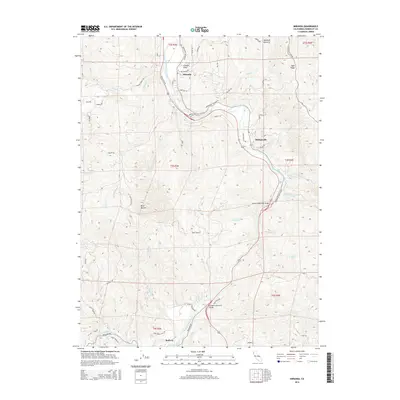
2015 Map of Miranda
USGS Topo · Published 2015About this map
The South Fork Eel River winds through this redwood-country landscape, followed closely by the iconic Avenue of the Giants. This corridor connects the small riverside settlements of Miranda, Phillipsville, and the northern edge of Redway. The map illustrates a complex network of ridgelines and creek drainages, with Mail Ridge defining the eastern heights and Bear Buttes rising to the west. Local infrastructure is highlighted by river crossings such as the Barnum Memorial Bridge and the Hurlbutt Memorial Bridge, which facilitate travel through the dense terrain.
Find a feature on this map
67 named features on this map. Tap any name to fly to it.
Don’t see what you’re looking for? This feature index may not catch every label — zoom into the map to look around manually.
Map Details
Editions of this 2015 Miranda Map
This is the sole edition of this map. No revisions or reprints were ever made.
Other maps of this area

1920 · Harris
USGS Topo · 1:62,500

1921 · Dyerville
USGS Topo · 1:62,500

1921 · Briceland
USGS Topo · 1:62,500

1949 · Blocksburg
USGS Topo · 1:62,500

1949 · Alderpoint
USGS Topo · 1:62,500

1949 · Garberville
USGS Topo · 1:62,500

1949 · Weott
USGS Topo · 1:62,500

1951 · Alderpoint
USGS Topo · 1:62,500

1951 · Weott
USGS Topo · 1:62,500

1951 · Garberville
USGS Topo · 1:62,500