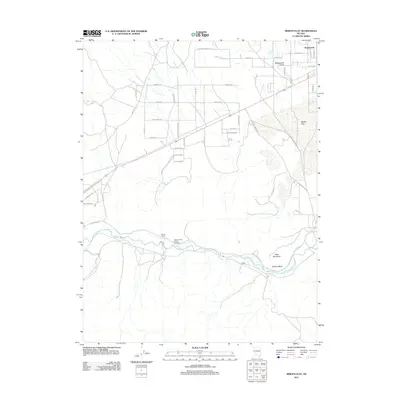
2011 Map of Misfits Flat
USGS Topo · Published 2011About this map
Stagecoach Valley and the growing residential tracts of Stagecoach define this desert corridor at the start of the twenty-first century. The landscape is characterized by a mix of established ranching operations and modern suburban expansion, with streets named for historical themes like Shawnee Rd, Comanche Rd, and Iron Mountain Blvd bisecting the arid basins. To the south, the Carson River winds through the valley floor, passing the historic Clifton settlement area and Chaves Ranch. The distinctive terrain of Misfits Flat and Table Mountain provides a stark contrast to the emerging network of residential lanes such as Stallion Springs Cir and Navajo Trl. This survey captures the moment when traditional ranching lands like Break a Heart Ranch Number 1 meet the increasing footprint of regional development.
Find a feature on this map
46 named features on this map. Tap any name to fly to it.
Don’t see what you’re looking for? This feature index may not catch every label — zoom into the map to look around manually.
Map Details
Editions of this 2011 Misfits Flat Map
This is the sole edition of this map. No revisions or reprints were ever made.
Other maps of this area

1891 · Carson
USGS Topo · 1:125,000

1891 · Wabuska
USGS Topo · 1:125,000

1893 · Carson
USGS Topo · 1:125,000

1894 · Wabuska
USGS Topo · 1:125,000

1950 · Virginia City
USGS Topo · 1:62,500

1952 · Virginia City
USGS Topo · 1:62,500

1956 · Dayton
USGS Topo · 1:62,500

1957 · Como
USGS Topo · 1:62,500

1957 · Churchill Butte
USGS Topo · 1:62,500

1957 · Reno
USGS Topo · 1:250,000