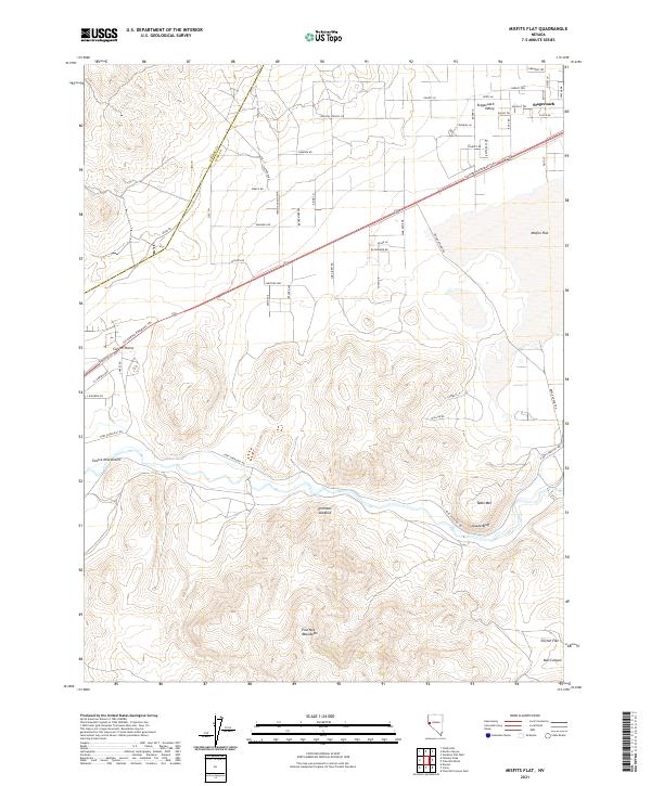
2021 Map of Misfits Flat
USGS Topo · Published 2021About this map
Stagecoach and Stagecoach Valley serve as the primary residential hubs in this high-desert landscape, where modern street names like Shawnee Rd and Seneca Rd overlay a much older network of western transit. The legendary California Emigrant Trl cuts diagonally across the northern terrain, tracing the footsteps of nineteenth-century pioneers through Carson Plains. This historic route is paralleled and intersected by Fort Churchill Rd, which winds through the arid stretches of Twelve Mile Desert toward the river valleys to the south.
Find a feature on this map
38 named features on this map. Tap any name to fly to it.
Don’t see what you’re looking for? This feature index may not catch every label — zoom into the map to look around manually.
Map Details
Editions of this 2021 Misfits Flat Map
This is the sole edition of this map. No revisions or reprints were ever made.
Other maps of this area

1891 · Carson
USGS Topo · 1:125,000

1891 · Wabuska
USGS Topo · 1:125,000

1893 · Carson
USGS Topo · 1:125,000

1894 · Wabuska
USGS Topo · 1:125,000

1950 · Virginia City
USGS Topo · 1:62,500

1952 · Virginia City
USGS Topo · 1:62,500

1956 · Dayton
USGS Topo · 1:62,500

1957 · Como
USGS Topo · 1:62,500

1957 · Churchill Butte
USGS Topo · 1:62,500

1957 · Reno
USGS Topo · 1:250,000