2021 Map of Mission
USGS Topo · Published 2021About this map
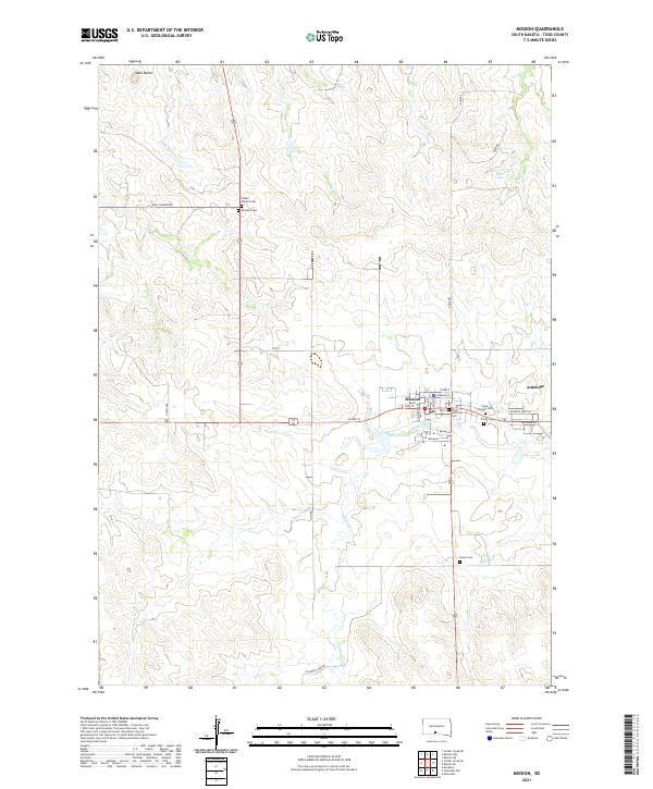
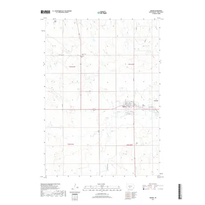
Mission serves as a central hub on this 2021 survey of the Rosebud Indian Reservation, situated at the junction of modern routes like W 2nd St and Todd St. The settlement pattern is defined by a high density of spiritual and memorial sites, including the Indian Mission Cem, Rosebud Cem, and Saint Thomas Cem, reflecting the deep community and genealogical history of the area. To the east, the community of Antelope sits near the headwaters of Antelope Cr, while the surrounding landscape is marked by the distinct elevation of Table Butte in the northwest.
Find a feature on this map
39 named features on this map. Tap any name to fly to it.
Don’t see what you’re looking for? This feature index may not catch every label — zoom into the map to look around manually.
Map Details
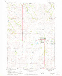
Editions of this 2021 Mission Map
This is the sole edition of this map. No revisions or reprints were ever made.
Historical Maps of Rosebud Through Time
6 maps found

Featured Locations
- Antelope Segment, SD
- Rosebud, SD
- Antelope, Antelope Segment
- Antelope Development Area, Antelope Segment
- Mission, Antelope Segment