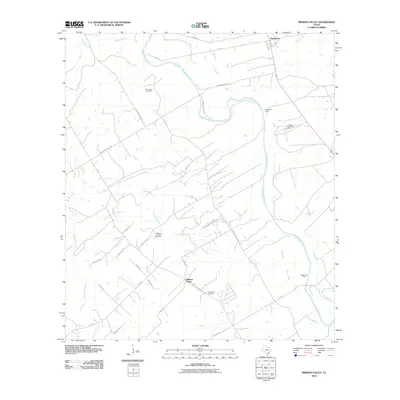
2010 Map of Mission Valley
USGS Topo · Published 2010About this map
The Guadalupe River snakes through this DeWitt County landscape, anchoring the settlements of Thomaston and Mission Valley. By 2010, the region’s economic character is defined by a mix of traditional river-bottom ranching and a developed energy sector, evidenced by the Anna Barre Gas Field, Richard Adock Gas Field, and Stapp Gas Field. These industrial sites are interspersed with local history markers such as the Guadalupe Cemetery and Camp de Leon along the riverbanks.
Find a feature on this map
37 named features on this map. Tap any name to fly to it.
Don’t see what you’re looking for? This feature index may not catch every label — zoom into the map to look around manually.
Map Details
Editions of this 2010 Mission Valley Map
This is the sole edition of this map. No revisions or reprints were ever made.
Other maps of this area

1953 · Beeville
USGS Topo · 1:250,000

1953 · Seguin
USGS Topo · 1:250,000

1956 · Beeville
USGS Topo · 1:250,000

1958 · Seguin
USGS Topo · 1:250,000

1960 · Beeville
USGS Topo · 1:250,000

1960 · Cuero
USGS Topo · 1:24,000

1962 · Verhelle
USGS Topo · 1:24,000

1963 · Fordtran
USGS Topo · 1:24,000

1963 · Meyersville
USGS Topo · 1:24,000

1963 · Nursery
USGS Topo · 1:24,000